Shenzhen, Aug. 04, 2026 (GLOBE NEWSWIRE) -- SHARE3DCAM has announced the C10 Series, a new line of SLAM-based mobile LiDAR scanners for geospatial and reality-capture work. The series includes the C10-16, C10-32, and C10-32 PRO, offering 16- or 32-channel configurations: the C10-16 and C10-32 reach 120 m, while the C10-32 PRO extends to 300 m to support differing capture distances, point-density requirements, and project scales.
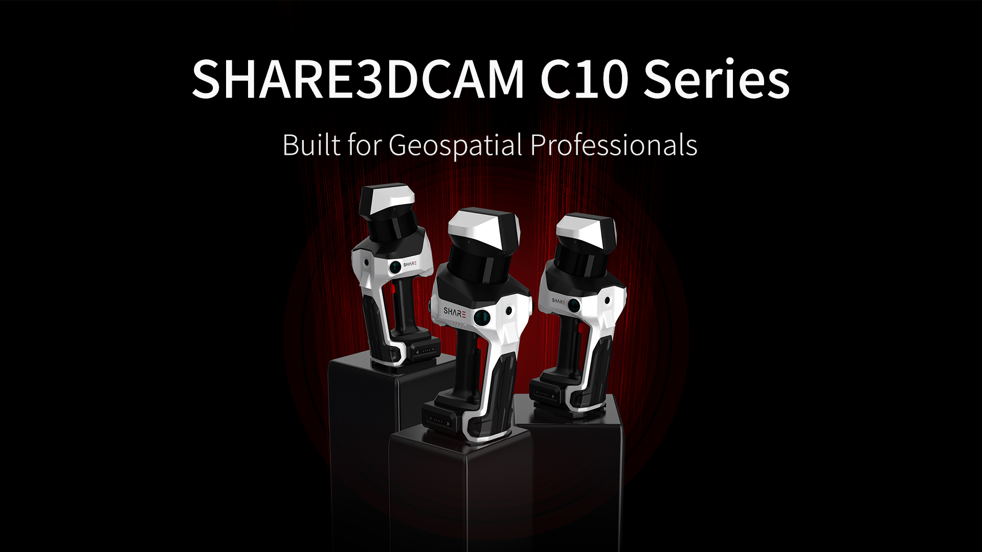
Designed for practical surveying applications including urban buildings, underground spaces, stockpile measurement, forestry surveys, historic-building documentation, tunnels, utility corridors, and long-road surveys, the C10 Series combines an IMU, a full-constellation multi-band RTK antenna, a multi-channel mechanical spinning LiDAR sensor, and one-inch mechanical-shutter wide-angle mapping cameras. SHARE3DCAM SLAM processing, coordinate transformation, PPK post-processing, and multi-format point-cloud export are intended to help teams capture and prepare spatial data for downstream project workflows.
As urban renewal, infrastructure verification, natural resource management, and spatial digitization drive the surveying industry from traditional 2D outputs toward 3D data deliverables, the SHARE3DCAM C10 Series represents a purpose-built solution developed around the challenges of real-world surveying projects. With higher point rates, longer scanning ranges, more robust positioning, and more comprehensive deliverables, it is designed to enable surveying teams to work with fewer station setups, reduce return visits, and capture more complete site data in a single field operation—reflecting SHARE3DCAM’s continued focus on the practical needs of professional surveying projects. Results depend on site conditions, operating procedures, and project requirements.
Capture Range and Point-Cloud Foundation
The C10 Series uses a multi-channel mechanical spinning LiDAR sensor with a point rate of up to 640,000 points per second, helping document spatial outlines, structural relationships, and relevant site detail.
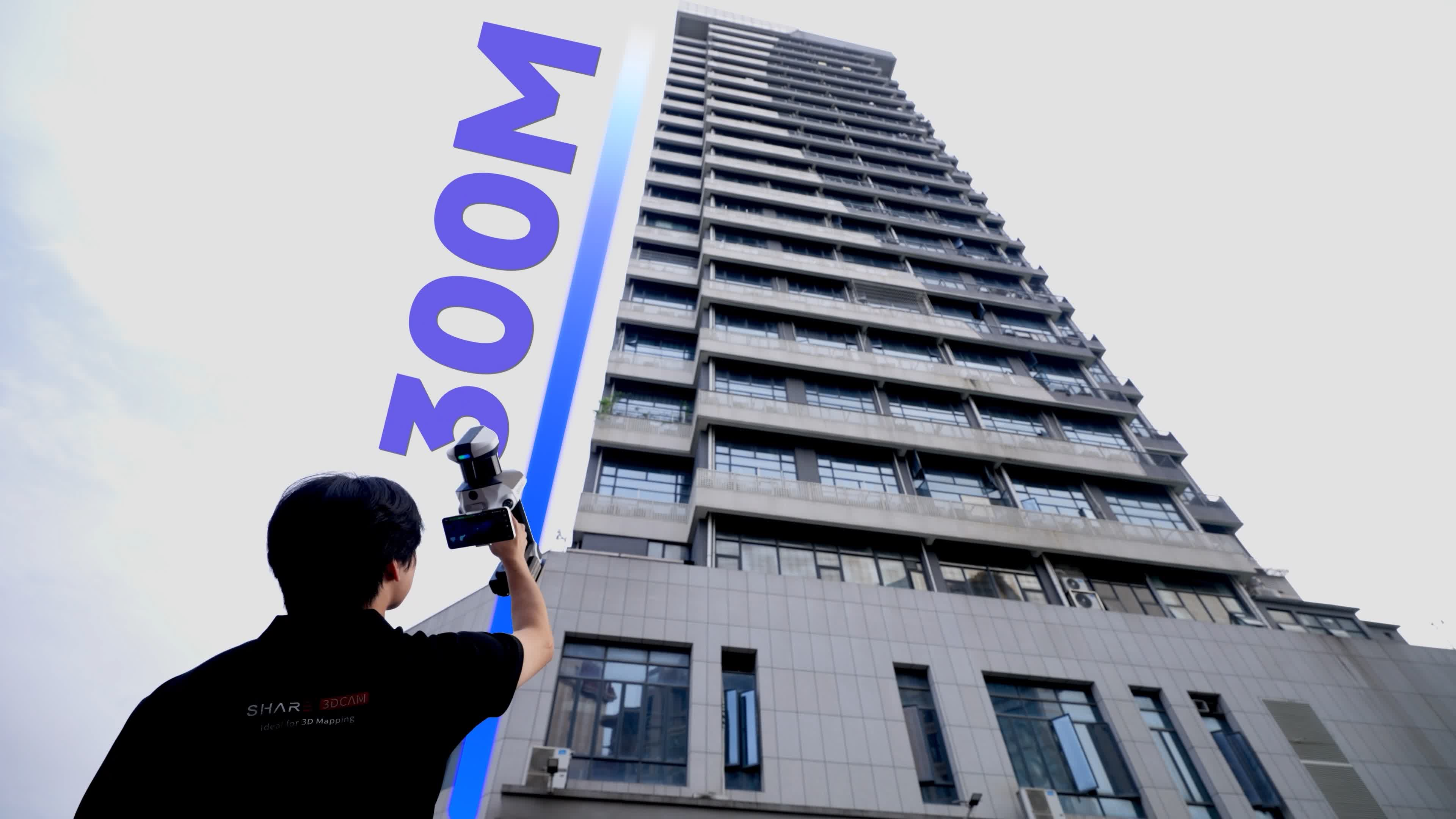
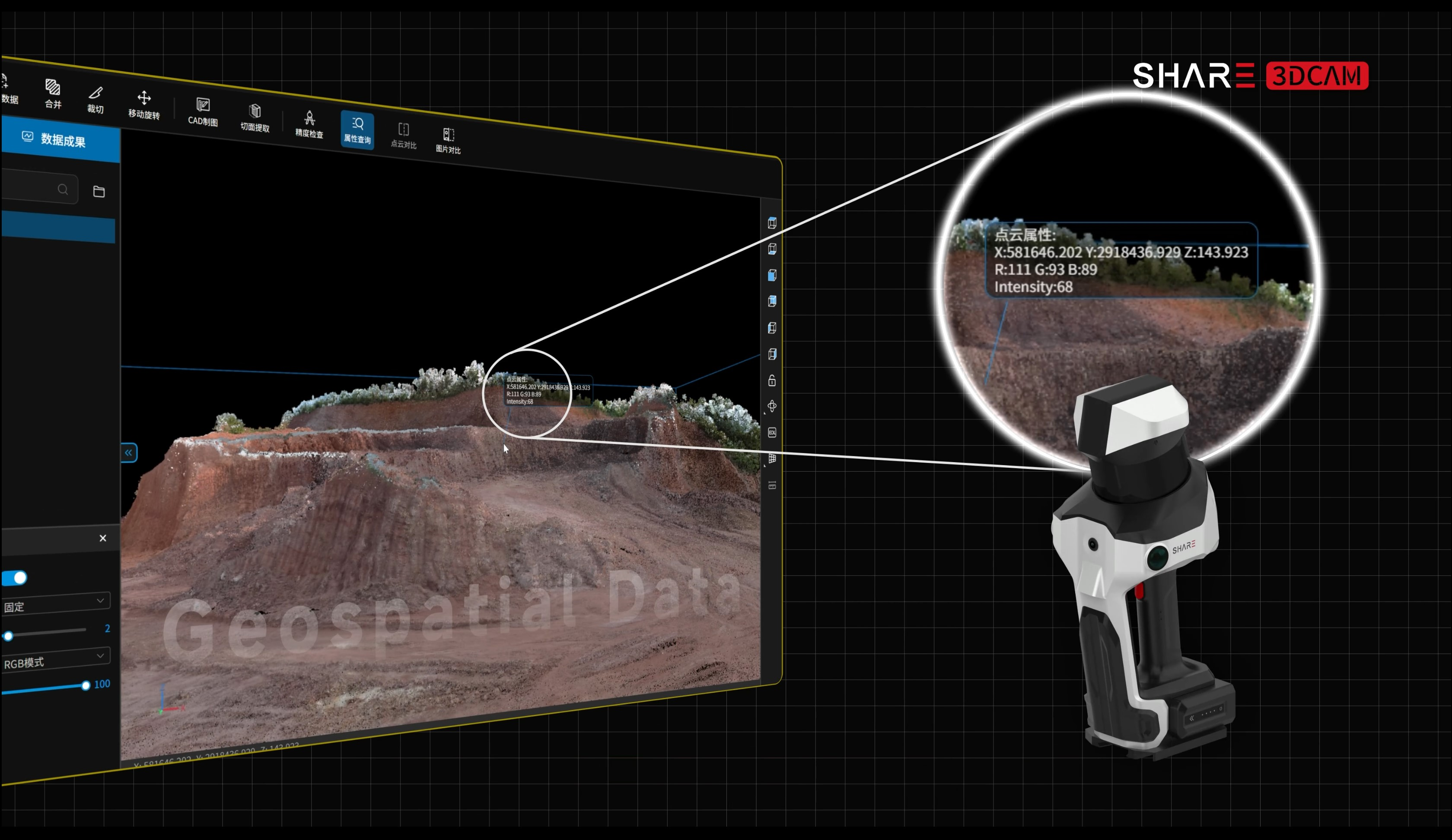
With a maximum capture range of 300 m, selected C10 configurations can support projects such as tall buildings and urban facades where longer working distances are useful. For urban building surveys, this can help teams reduce the number of setups and repeated checks in complex sites. When used with SHARE PointClouds Studio, SHARE3DCAM’s companion data-processing software, C10 data can serve as a practical spatial reference for CAD drafting, BIM modeling, verification, as-built documentation, and digital archiving.
Positioning and Coordinate Workflows
In surveying projects, positioning quality directly influences the reliability of downstream deliverables. The C10 Series integrates a high-precision IMU and a full-constellation, multi-band RTK antenna with SHARE3DCAM’s proprietary SLAM algorithm to support continuous positioning in complex environments.
For multi-station registration, engineering-data overlays, and repeat surveys, the C10 Series supports coordinate transformation so local point clouds can be aligned to project or national coordinate systems. In areas with constrained RTK reception, PPK post-processing can be used to create georeferenced point-cloud data, providing an additional workflow option for challenging signal environments.
Beyond Point Clouds: Imagery, 3DGS, and Mesh Deliverables
Surveying deliverables are evolving from point-cloud-only outputs toward combined packages of point clouds, imagery, and 3D models. The SHARE3DCAM C10 Series incorporates 1-inch mechanical-shutter wide-angle mapping cameras, together with an optimized colorization algorithm, to produce more natural-looking point-cloud color for site review, project presentation, and stakeholder communication.
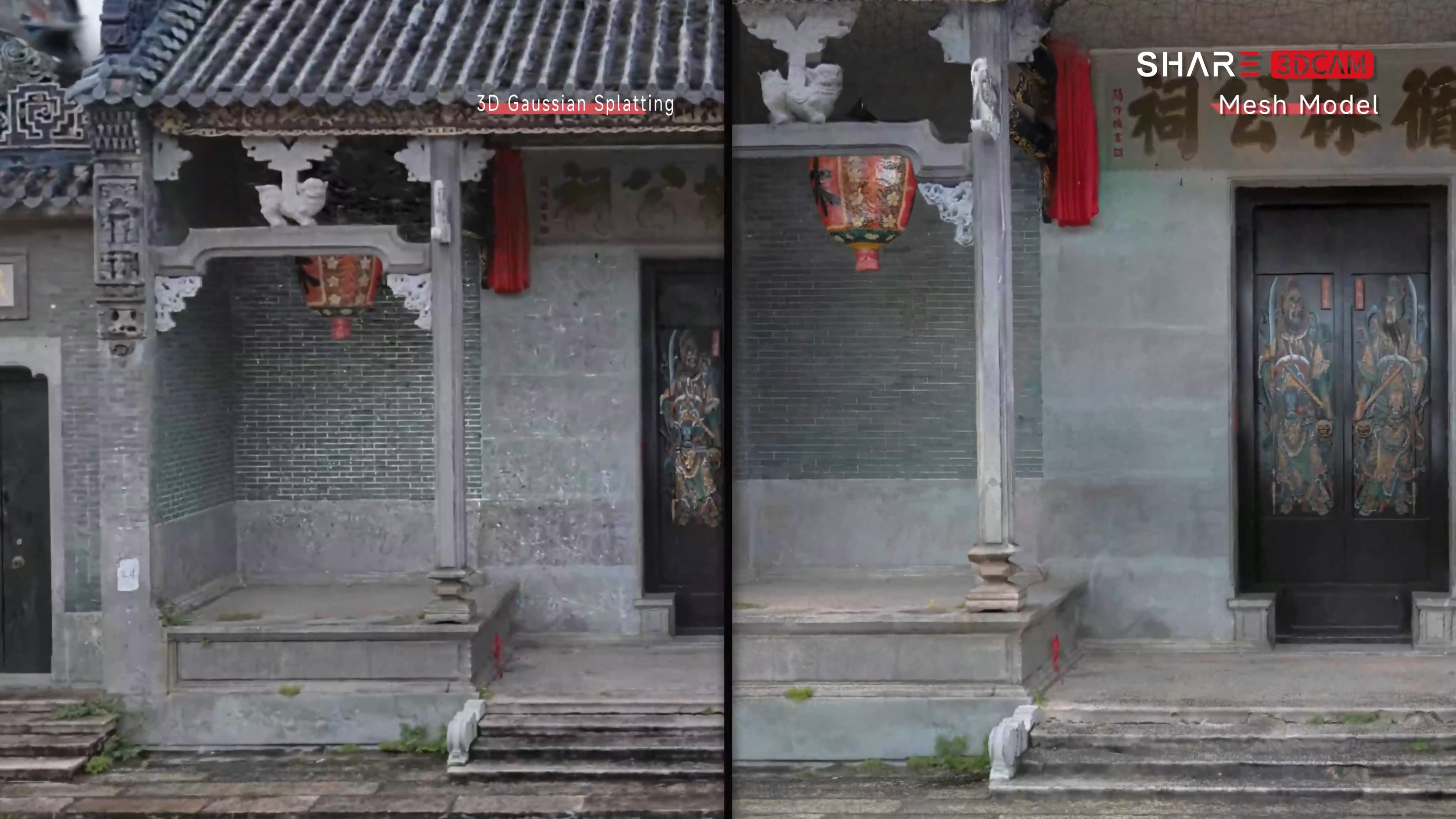
The higher-end C10-32 PRO supports panoramic stitching, generating panoramic imagery for project documentation and later site review. Based on its mapping-grade imaging capabilities, the C10 Series can also generate 3D Gaussian Splatting (3DGS) and mesh models. For applications such as historic-building documentation, cultural and tourism site digitization, and complex building renovation, a combination of point clouds, panoramas, 3DGS, and mesh models enables project teams to produce multiple forms of deliverables from a single capture campaign, supporting digital archiving, project presentation, modeling, and analysis.
Designed for Real-World Fieldwork
Surveying projects often involve long working hours, complex site conditions, and large volumes of data. To address these practical field requirements, the C10 Series incorporates several purpose-built hardware features:
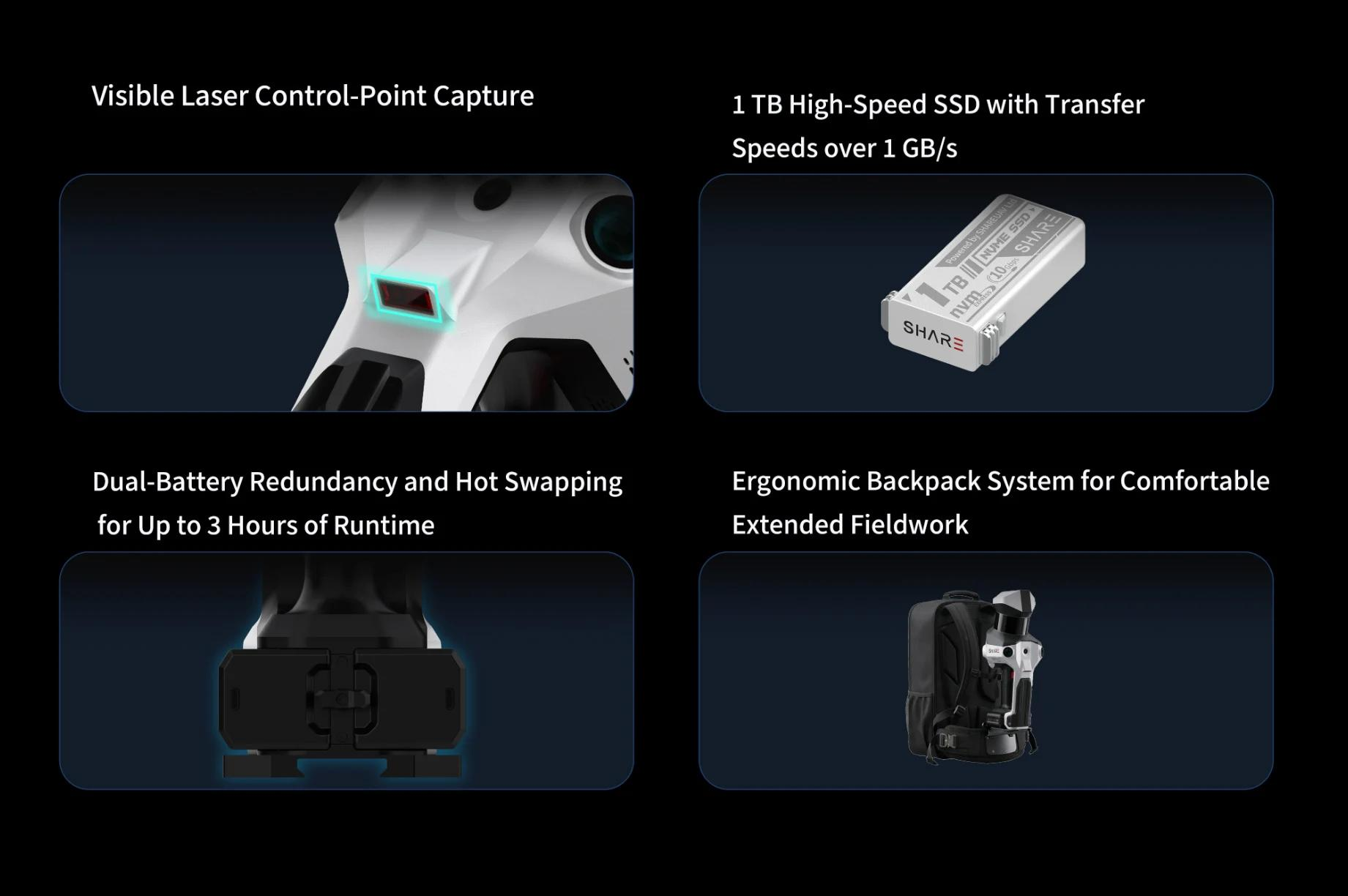
- Visible laser control-point capture: Makes control-point collection more intuitive and helps reduce collection errors and unnecessary rework.
- Dual-battery redundancy and hot swapping: Provides up to three hours of runtime and allows batteries to be replaced without interrupting data collection.
- 1 TB high-speed SSD: Supports data transfer speeds of over 1 GB/s for more efficient on-site data handling.
- Ergonomic backpack system: Helps reduce physical strain during extended data-collection sessions.
Multi-Format Point-Cloud Output and Continued Software Development
The value of a 3D laser scanner extends beyond data capture to how effectively the data can be used across downstream software, project workflows, and industry applications. The C10 Series supports point-cloud exports including LAS, PLY, PCD, E57, and RCS, enabling data exchange across a range of software environments.
To address a broader range of surveying requirements, SHARE3DCAM will continue developing three areas of software functionality:
- Stockpile measurement: Intended to support shape reconstruction and calculations of volume, area, and height for materials such as ore, earthworks, and grain.
- Point-cloud registration: Intended to align and combine multiple scan datasets in a common coordinate system, supporting multi-station registration, multi-source data integration, and repeat-survey comparison.
- Semantic point clouds: Intended to use class labels to help improve data identification and processing efficiency.
About SHARE3DCAM
SHARE3DCAM provides practical 3D spatial-capture solutions for AEC, renovation, infrastructure, industrial documentation, cultural heritage, and scan-to-deliverable workflows. Its products and software help teams connect site capture with point-cloud processing, CAD, 3DGS, documentation, and project delivery workflows.
Official Website: www.share3dcam.com
Contact Us: office@shareuavtec.com

Enqiang Fan
office@shareuavtec.com